Building date: 1920-21
Original use: Vehicular and pedestrian bridge
Corner structures:
Mortar application and content:
Types and uses of stones:
Types and choice of windows:
Structures with similar masonry details:
Masons who worked on building:
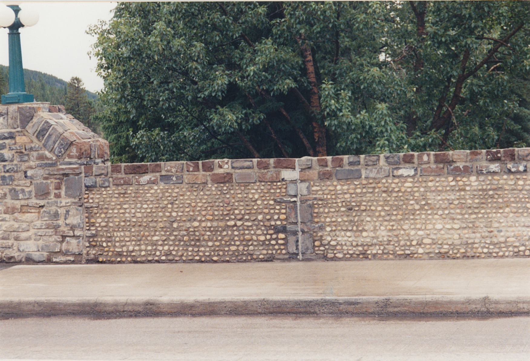
Unique features: Impressive stone work and cobblestone veneer on bridge parapets.
Map views courtesy Google Maps. Address is Google Earth confirmed; 51°10'22.17"N 115°34'16.38"W.
Town of Banff and Alberta Provence Maps.
Banff history and heritage through landmarks and legends, Bow River Bridge
 Ban-1 Bow River Bridge Town of Banff 1.jpg ¹ |  Ban-1 Bow River Bridge Town of Banff 2.jpg ¹ |  Ban-1 Bow River Bridge Town of Banff 3.jpg ¹ |
